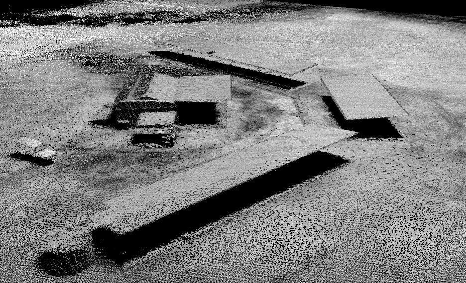
Unlike photogrammetry based LiDAR, the Revolution 120 has a lot higher density which far better penetrates vegetation to have points on the ground. Density plays an important part in filtering ground from vegetation and other elements (fences, vehicles ect). Ground filtering algorithms looks at near neighbour points to determine what may be ground compared to other. The simple rule is the greater the density the better the Digital Terrain Model will be. High altitude low density aerial LiDAR always struggles with filtering algorithms and hence why poor accuracy when ground truthing is found.
Ground control targets are minimised due the the high grade Inertial Management Systems (IMU) and Survey grade GPS system installed in the Revolution 120. Post processing IMU\GPS dataset against base station data produces very accurate Trajectories which negates the need for lots of control targets.
The other clear benefit is that photogrammetry takes considerable time in producing point clouds. This is due to the increased need for ground control targets (time to place) and the processing time it takes to create point clouds (hours V’s days).
For more information on the Revolution Series goto https://www.spatialcollect.com.au/lidar-scanners/
Multi pass point cloud from Revolution 120 below